The Distant: Unsettled Land of Britain
Georgia Hablützel
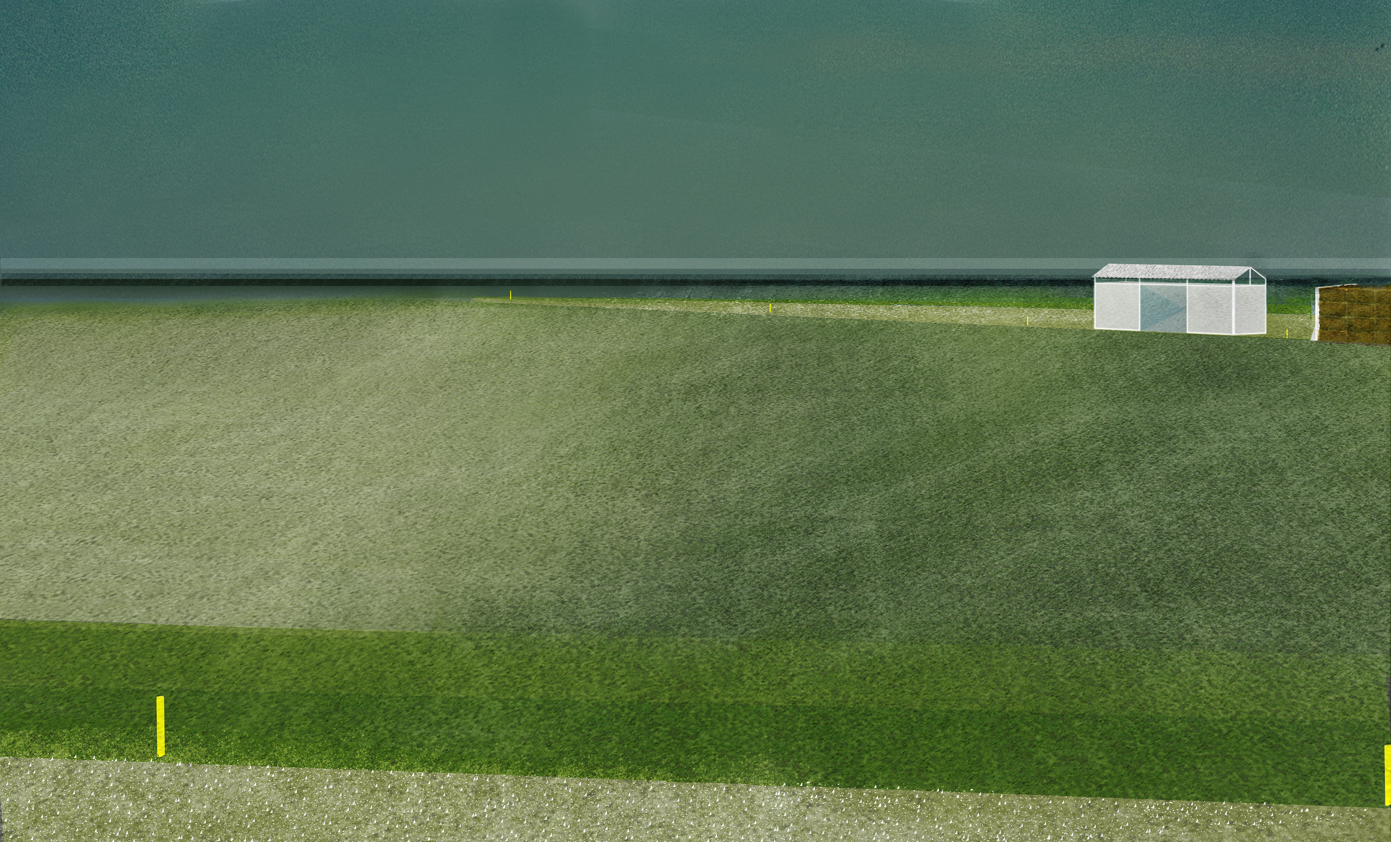
Today, the reality of an eroding coastline reveals the dichotomy between the productive and non-productive image of Britain. It is assessed through conservation frameworks and maintained through private ownership of land. The Distant is an organisational framework to reveal the hidden conflict of production along coastal regions through time. As a tool of landscape conservation, it puts conditions of land through a timely process of destabilisation- where the individual can be framed within spaces they would never usually access. Spaces of production become blurred by the passer by as they are no longer occupied by one from of exchange. The gravel path leads the way for a new understanding of a landscape, one that promotes the merging of access and use.

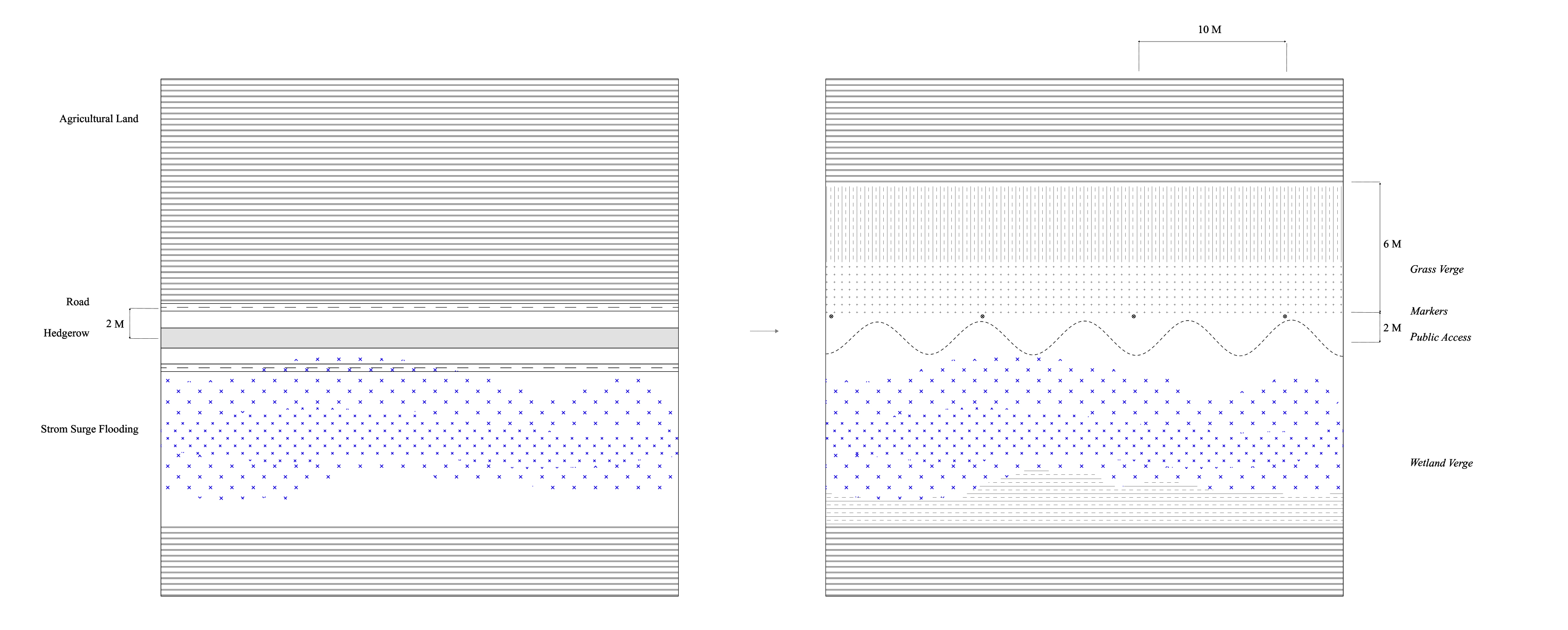
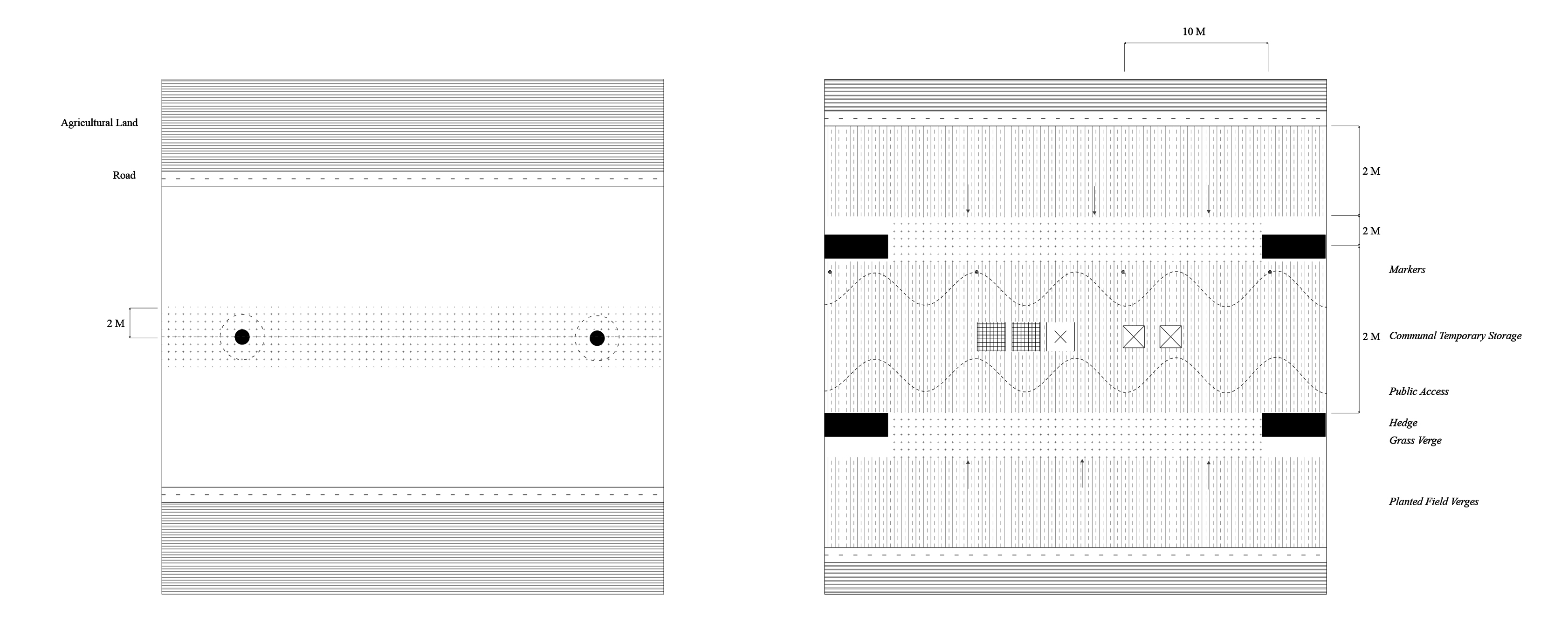
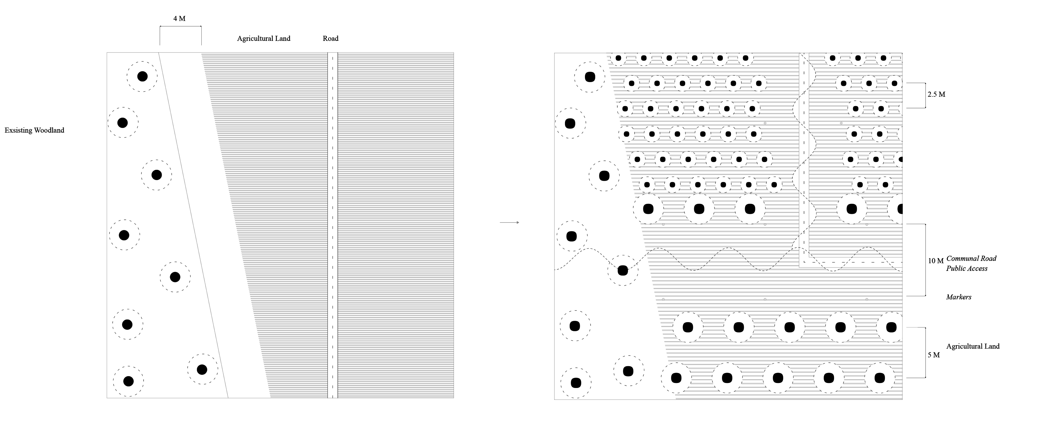
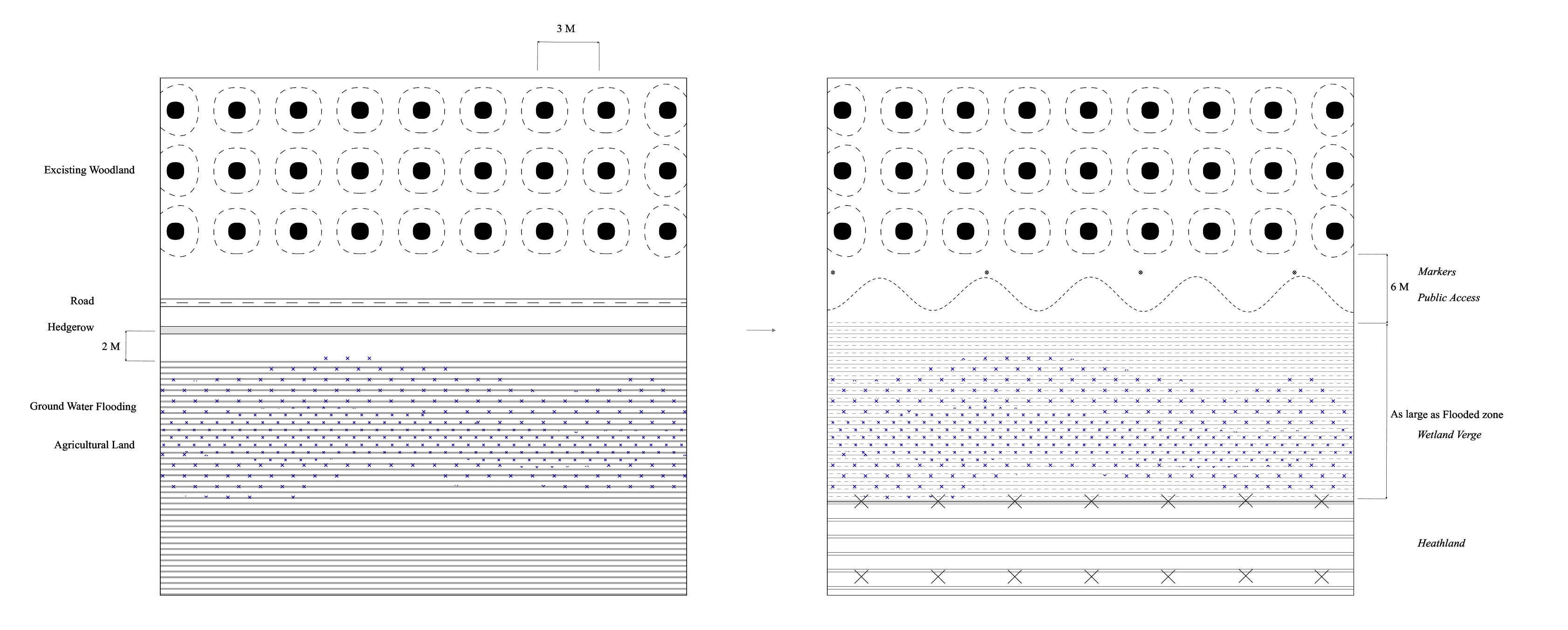

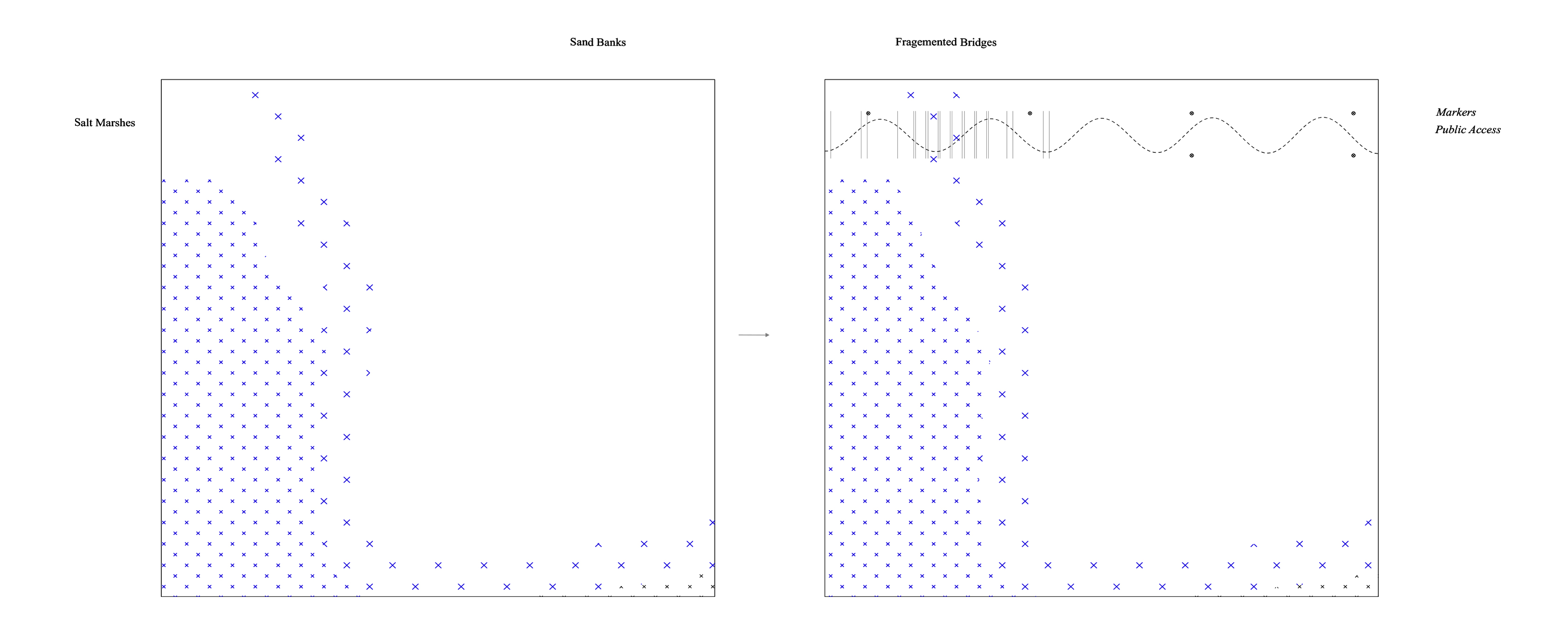
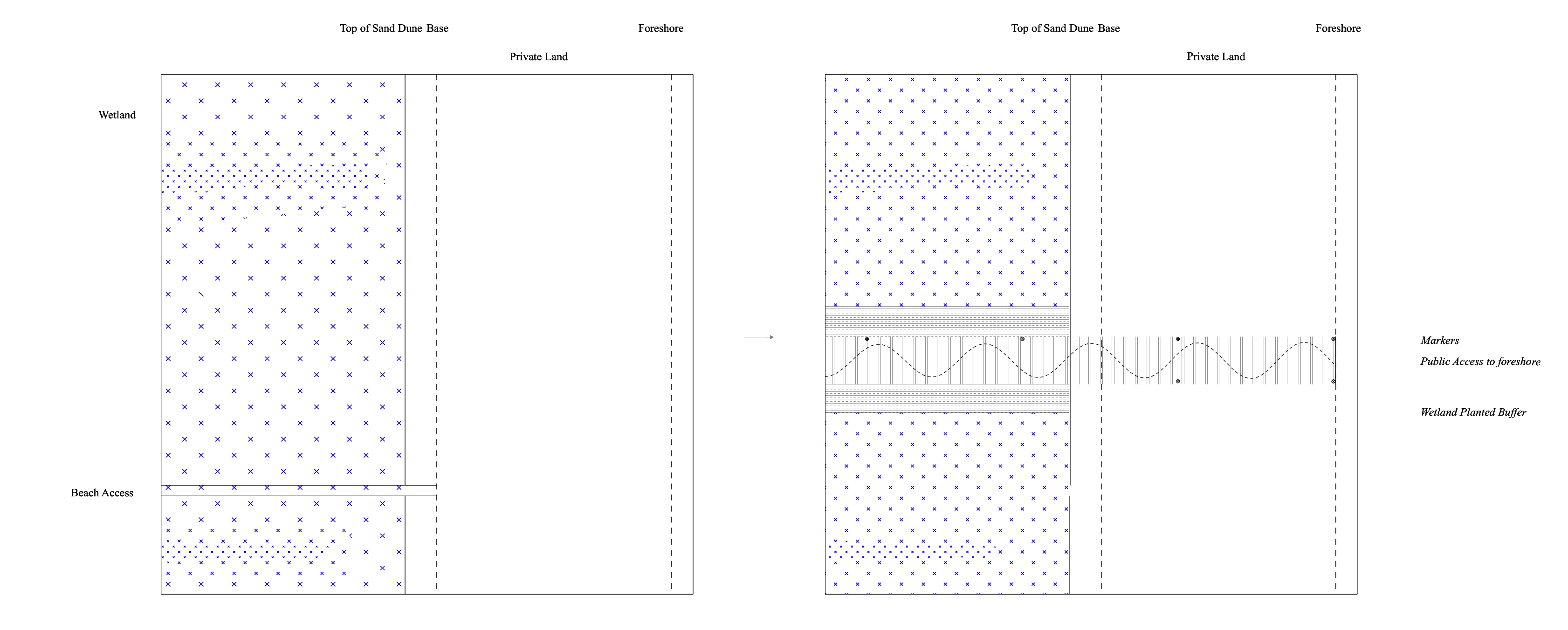
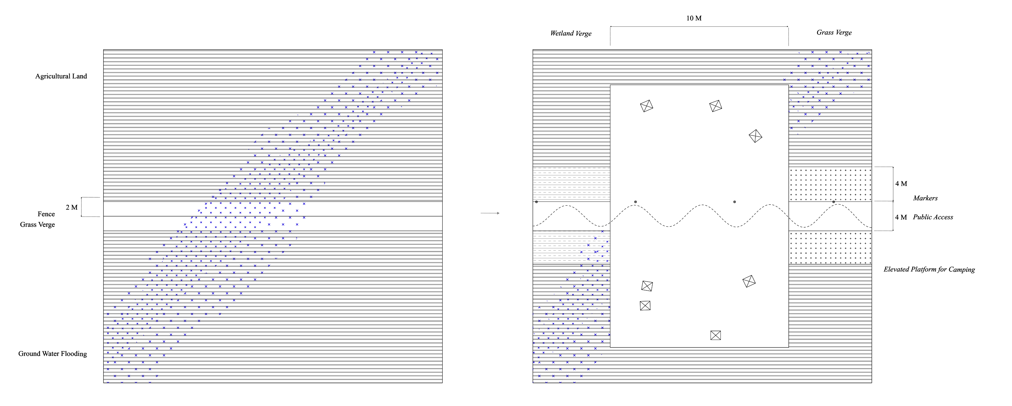
The Project provides a framework to challenge the Single Farm Payment subsidy for agricultural land along British coastlines. The proposal of a 12 Acre Right of Way Agreement destabilises landowners receiving subsidies for the ownership of large stretches of private land. The framework imagines the accumulation of subsided land, redirecting funds to individual maintainers of the landscape, rather than landowners. By enabling the publics right to roam over private land, a new gravel path audibly marks a new public territory. The thickening of plot boundaries allows the inhabitation of shared agricultural storage, along with public programs such as, allotments, camping grounds, and viewing towers for visitors, farmers and rangers. Where erosion is a reality, the 12 Acre Right of Way Agreement maintain’s access to the foreshore, one of the last remaining stretches of public space through otherwise private countryside. Within the distant, the 12 Acre Right of Way Agreement wishes to blur productive and non productive, which would reshape our image of the countryside.